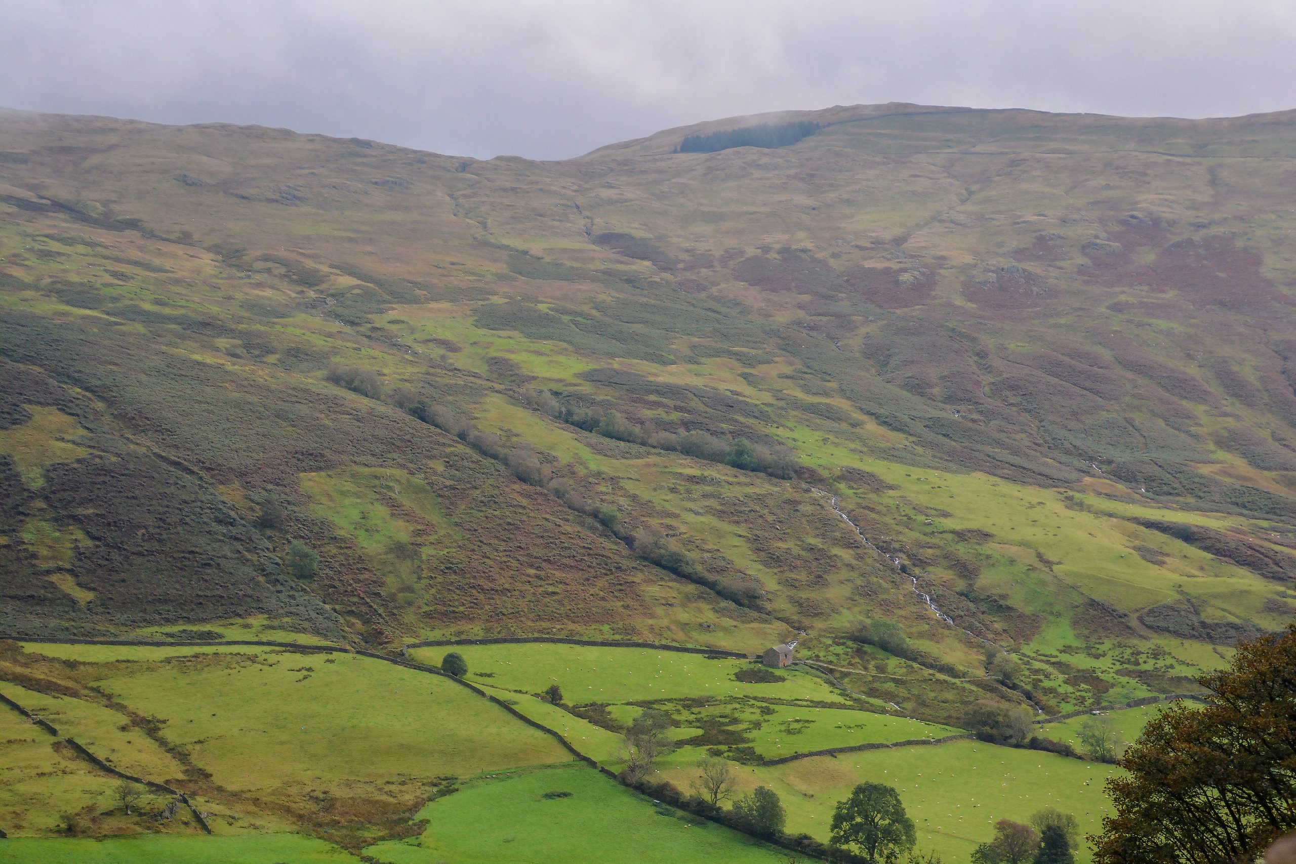
The Lake District National Park in England is renowned for its breathtaking landscapes and challenging hikes. For the experienced and adventurous hikers, the Lake District offers some of the most demanding trails in the country. In this comprehensive guide, we’ll explore the Hardest Lake District Hikes, providing essential details and recommendations to help you conquer these rugged trails.
1. Mosedale Horseshoe from Wasdale Head

- Hike Type: Loop
- Hike Distance: 16 km
- Elevation Gain: 1,514 m
- Hike Time: 6-9 hours
- Technical Aspects: Some scrambling, steep climbs
- Wainwrights Summited: Kirk Fell, Pillar, Scoat Fell, Red Pike, and Yewbarrow
- Parking: Wasdale Head Car Park
The Mosedale Horseshoe is a challenging loop hike that takes you through some of the most dramatic landscapes in the Lake District. This route summits five Wainwright peaks, including the iconic Kirk Fell and Pillar. Expect steep climbs, scrambling sections, and breathtaking views over the Wasdale valley.
2. Scafell Pike

- Start: 9:00
- Finish: 17:00
- Location: Seathwaite
- Grade: Strenuous
- Distance: 8.8 miles (14.1 km)
- Height Gain: 1000 m
- Wainwrights: Great End, Ill Crag, Broad Crag, and Scafell Pike
- Route: Via Grains Ghyll path, Esk Hause, and the mountain’s long North Eastern flank
Scafell Pike, the highest mountain in England, is a true test of endurance and skill. This strenuous hike takes you through challenging terrain, including steep ascents and exposed sections. Along the way, you’ll conquer several Wainwright peaks, culminating in the summit of Scafell Pike, which offers unparalleled views of the surrounding fells.
3. Helvellyn via Striding and Squirrel Edges
- Start: 9:00
- Finish: 17:00
- Location: Glenridding Visitor Centre
- Grade: Strenuous
- Distance: 9.3 miles (15 km)
- Height Gain: 950 m
- Wainwrights: Birkhouse Moor, Helvellyn, and Catstycam
- Route: Via Striding Edge and Swirral Edge, with exposed scrambling sections
The Helvellyn via Striding and Squirrel Edges route is a true test of nerve and skill. This challenging hike takes you along the exposed and rocky ridges of Striding Edge and Swirral Edge, requiring careful navigation and scrambling abilities. The reward for your efforts is the stunning panoramic views from the summit of Helvellyn, one of the most iconic peaks in the Lake District.
4. Blencathra via Sharp Edge
- Location: Scales Farm
- Grade: Strenuous
- Distance: Not specified
- Height Gain: Not specified
- Technical Aspects: Rocky ridge, steep inclines, and scrambling sections
- Route: Via Sharp Edge, a challenging rocky ridge
Blencathra, with its distinctive Sharp Edge, is a true test of courage and skill. This route takes you along a narrow, exposed rocky ridge, requiring careful navigation and a head for heights. The steep inclines and scrambling sections make this hike one of the most challenging in the Lake District, but the breathtaking views from the summit make it a truly rewarding experience.
Recommended Level of Fitness and Equipment
Tackling the Hardest Lake District Hikes requires a high level of fitness and the right equipment. Hikers should be prepared for long days in the hills with significant elevation gain, as well as the technical aspects of scrambling and navigating exposed terrain.
In terms of equipment, sturdy hiking boots, appropriate clothing for the changeable weather, and navigation tools like a compass, map, and GPS device are essential. It’s also recommended to carry a power bank and cable to keep your phone charged throughout the hike.
Essential Navigation Tools and Apps
Navigating the Lake District’s rugged terrain can be challenging, so it’s crucial to have the right tools at your disposal. Two essential navigation apps for the Lake District are:
- Ordnance Survey: A yearly subscription (£28) provides digital access to all 607 OS maps, which can be used on any device and downloaded for offline use.
- Maps.Me: A free offline mapping service that helps with navigation and finding essential locations like shops, petrol stations, and restaurants.
These apps, combined with a good understanding of navigation techniques, will help ensure a safe and successful hike through the Hardest Lake District Hikes.
Additional Tips
- Power Bank and Cable: Always carry a power bank and cable to ensure your phone remains charged throughout the hike.
- Weather and Safety: Be prepared for rapidly changing weather conditions and take necessary safety precautions.
Conquering the Hardest Lake District Hikes is a true test of endurance, skill, and determination. By following the recommendations outlined in this guide and prioritizing safety and navigation, you’ll be well on your way to tackling these challenging trails and experiencing the breathtaking beauty of the Lake District.
Reference:
– Ordnance Survey
– Maps.Me
