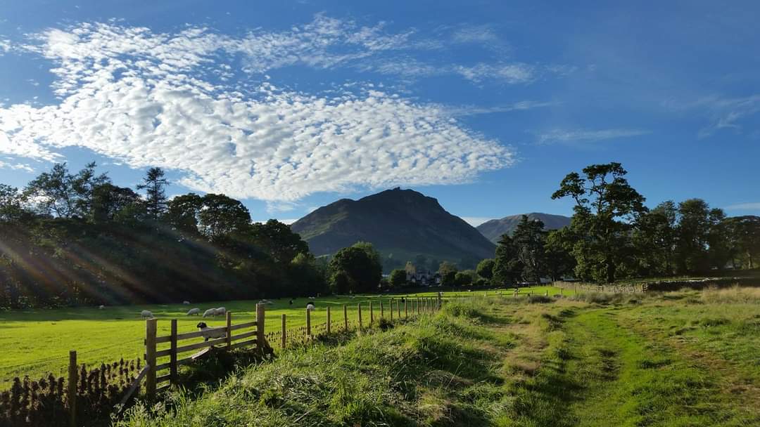
The Lake District, located in northwest England, is a region renowned for its stunning natural beauty, featuring mountains, lakes, and valleys shaped by millions of years of geological processes. From the ancient Skiddaw Group to the dramatic Borrowdale Volcanics, the Lake District’s landscape is a testament to the powerful forces that have sculpted this breathtaking region.
Three Main Rock Types in the Lake District

The Lake District’s geology is characterized by three main rock types, each with its own unique history and characteristics:
-
Skiddaw Group: Formed around 500 million years ago, these are the oldest rocks in the Lake District, originating from black muds and sands that settled on the seabed. These rocks are found mainly in the northern part of the National Park and form smooth mountains with deep gorges carved by streams.
-
Borrowdale Volcanics: Formed approximately 450 million years ago, these rocks are the result of catastrophic volcanic eruptions, creating very hard lavas and ashes. These rocks make up the highest and craggiest mountains in the Lake District, such as Scafell, Helvellyn, and the Langdale Pikes.
-
Sedimentary Rocks: Formed around 420 million years ago, these rocks include mudstones, sandstones, siltstones, and limestone, which were originally deposited in the sea and later folded, faulted, and pushed up. These rocks have eroded to form the gentler scenery of southern Lakeland.
Glacial Shaping of the Lake District Landscape

The Lake District’s landscape was significantly shaped by glaciers during the last ice age. The glaciers carved out U-shaped valleys and created the deep lakes, such as Windermere and Ullswater. The glaciers also left behind a legacy of glacial features, including moraines and drumlins, which can be seen throughout the region.
Formation of Mountains and Lakes
The formation of the Lake District’s mountains and lakes is the result of a complex interplay of geological processes, including:
- Folding and Uplifting: The rocks in the Lake District were shifted and sculpted through different stages of folding and uplifting, creating the mountainous terrain.
- Glacial Erosion: The glaciers that covered the region during the last ice age carved out the valleys and created the lakes, which are able to store large volumes of water due to the volcanic rock and high rainfall.
- Erosion and Weathering: Over time, the rocks have been eroded and weathered, exposing the underlying geology and creating the diverse landscape seen today.
Exploring the Geological Wonders of the Lake District
For those interested in learning more about the Lake District’s landscape and geology, there are several resources available. The book “Lake District: Landscape and Geology” by Ian Francis, Stuart Holmes, and Bruce Yardley provides detailed explanations of the geological processes that shaped the region, along with stunning photographs and guided excursions to key geological locations.
Whether you’re a geology enthusiast or simply someone who appreciates the natural beauty of the Lake District, exploring the region’s fascinating geological history is a rewarding and enlightening experience.
