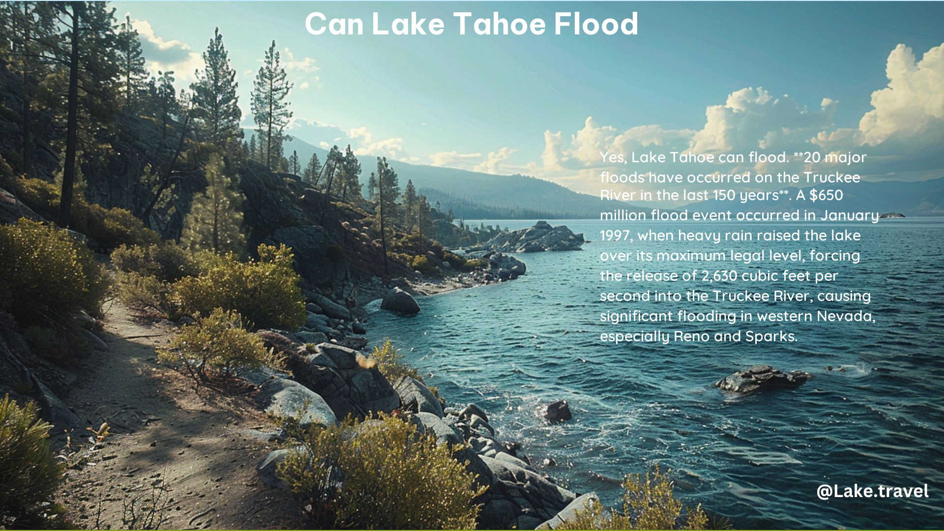
Yes, Lake Tahoe can flood. The lake is susceptible to flooding due to its location in the Sierra Nevada mountains, which receive heavy snowfall and rainfall. The lake’s water level can rise significantly during intense storms, leading to flooding in surrounding areas, particularly in South Lake Tahoe.
Flood Impacts
Flood Stage
The flood stage of Lake Tahoe is 6,229.1 feet. At this level, flooding begins to occur around the shores of the lake, especially on the side of the lake where the wind is blowing.
Historic Floods
There have been significant floods in the Lake Tahoe Basin, including a $650 million flood event in January 1997. Heavy rain in December 1996 raised the lake over its maximum legal level, forcing the opening of all 17 gates of the Lake Tahoe Dam, which released 2,630 cubic feet per second into the Truckee River.
Recent Flooding
In March 2023, severe flooding and structure collapses were reported in South Lake Tahoe due to heavy rain and snowmelt.
Flood Risk in South Lake Tahoe

Moderate Risk
South Lake Tahoe has a moderate risk from flooding, with 2,385 properties at risk of flooding over the next 30 years.
Estimated Flood Flows
The estimated flood flows in the Lake Tahoe Basin are significant, with peak discharges recorded during the January 1997 flood. For example, the peak discharge at the Truckee River at Lake Tahoe at Tahoe City was 2,630 cubic feet per second.
Flood Impacts on Truckee River
Flooding
The Truckee River is prone to flooding, especially during heavy snowmelt and rainfall events. The river’s flood impacts are significant, with flooding reported in the city of South Lake Tahoe and surrounding areas.
Flood Control
Flood control is not explicitly provided for under the current Truckee River Compact. The Water Master is required by law to release as much water as possible whenever the lake nears the 6,229.1 maximum elevation mark, regardless of hydrologic conditions downstream.
Percentage of Properties at Risk of Flooding
Properties at Risk
Approximately 2,385 properties in South Lake Tahoe are at risk of flooding over the next 30 years, indicating a moderate risk of flooding in the area.
Estimating Flood Flows
Monitoring Stations
The U.S. Geological Survey (USGS) operates 21 streamflow and 2 lake-level monitoring stations in the Lake Tahoe Basin. These stations provide real-time data used for flood forecasting, water supply planning, and emergency response.
Peak Discharges
Peak discharges are measured at gaging stations in the Lake Tahoe Basin. For example, the peak discharge at the Truckee River at Lake Tahoe at Tahoe City was 2,630 cubic feet per second during the January 1997 flood.
References:
– NOAA Water Level Gauge
– Lake Tahoe Water Wars
– Truckee River Compact
– Flood Risk in South Lake Tahoe
– USGS Flood Monitoring
