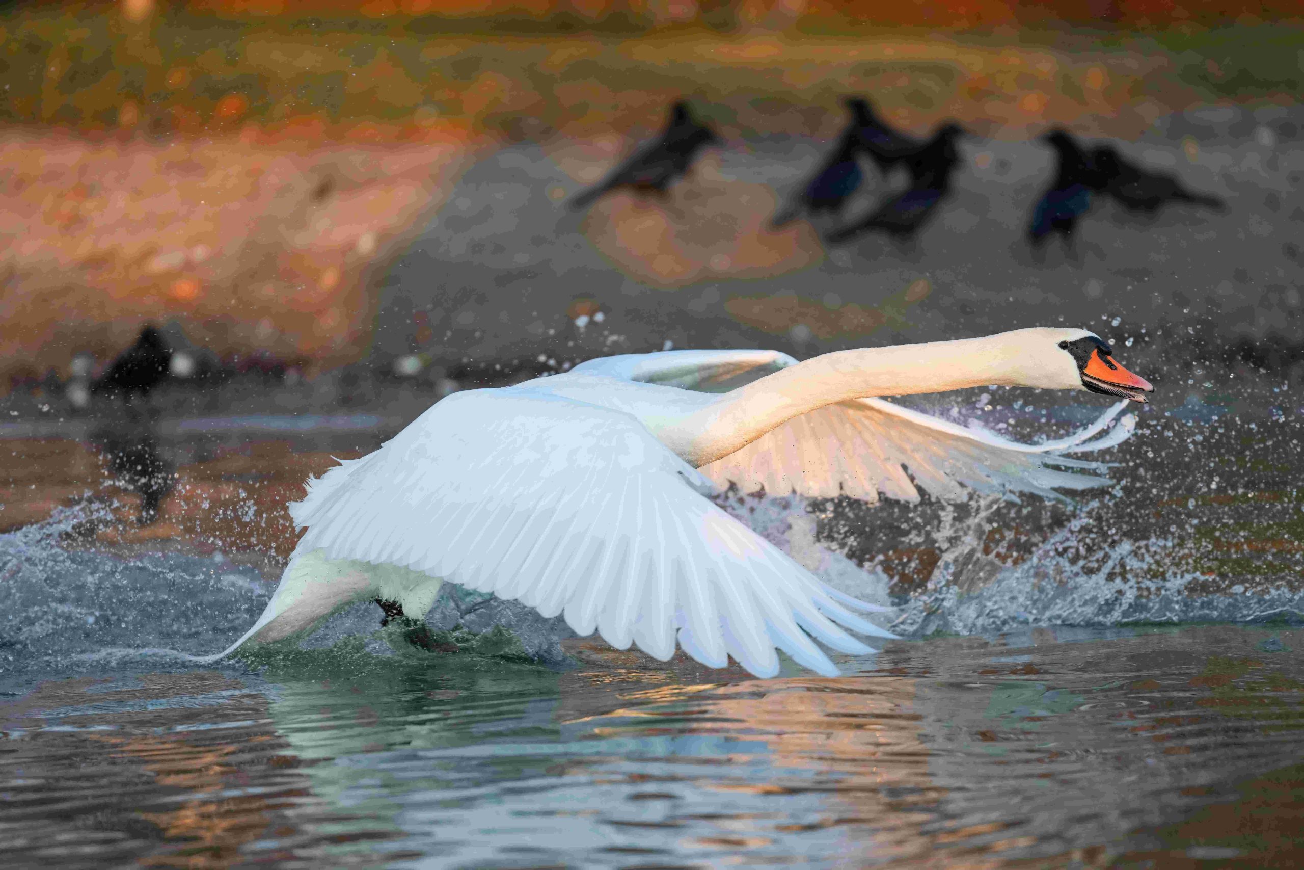
Lake Geneva, Wisconsin, offers stunning aerial views that showcase its pristine waters, lush shorelines, and historic mansions. From drone photography to scenic overlooks, the area provides numerous opportunities to capture breathtaking perspectives. This guide explores the best locations, regulations, and tips for obtaining remarkable aerial views of Lake Geneva, Wisconsin, ensuring photographers and enthusiasts can make the most of this picturesque destination.
What Are the Best Locations for Aerial Photography in Lake Geneva?

Lake Geneva boasts several prime locations for capturing aerial views:
- Geneva Lake Shore Path
- Yerkes Observatory Grounds
- Driehaus Fountain at The Riviera
- Lake Geneva Ziplines & Adventures
Each of these locations offers unique vantage points and scenic backdrops for aerial photography. The Geneva Lake Shore Path, in particular, provides various spots along its route to capture the lake and its surroundings, especially near the public beach and historic mansions.
How Can You Access Aerial Maps of Lake Geneva?

Several resources are available for accessing aerial maps of Lake Geneva:
- Wisconsin Historic Aerial Image Finder (WHAIFinder)
- Wisconsin Aerial Photography Catalog
- GeoData@Wisconsin
These resources offer both historical and current aerial photography, allowing photographers to plan their shots and compare changes over time.
What Are the Drone Regulations for Lake Geneva?
When using drones for aerial photography in Lake Geneva, it’s crucial to adhere to the following regulations:
Federal Regulations
- Fly below 400 feet
- Maintain line of sight
- Avoid restricted airspace
Local Regulations
- Check for specific ordinances or restrictions
- Obtain permits for flying over populated areas or near public events
Safety Protocols
- Follow FAA safety guidelines
- Register and mark drones weighing over 0.55 pounds
- Respect private property and obtain necessary permissions
What Amenities Are Available at Scenic Overlooks?
Scenic overlooks in Lake Geneva offer various amenities to enhance your aerial photography experience:
| Location | Parking | Accessibility | Cost |
|---|---|---|---|
| Geneva Lake Shore Path | Multiple public lots | Partially paved, some wheelchair access | Free |
| Yerkes Observatory | On-site parking | Partially accessible | Potential admission fees |
How Can You Capture the Best Aerial Shots of Lake Geneva?
To capture the best aerial views of Lake Geneva, consider the following tips:
- Time your visit for optimal lighting conditions, especially during sunrise or sunset
- Explore different vantage points along the Geneva Lake Shore Path
- Utilize the unique perspective offered by Lake Geneva Ziplines & Adventures
- Incorporate landmarks like the Yerkes Observatory or Driehaus Fountain in your shots
- Consider seasonal changes for varied landscapes and colors
What Equipment is Recommended for Aerial Photography in Lake Geneva?
For optimal aerial photography in Lake Geneva, consider the following equipment:
- Drone with high-resolution camera
- Wide-angle lens for expansive lake views
- Neutral density filters for balanced exposure
- Extra batteries for extended shooting sessions
- Portable charger for on-the-go power
How Can You Plan Your Aerial Photography Session in Lake Geneva?
Planning your aerial photography session in Lake Geneva involves several steps:
- Research optimal shooting locations using aerial maps and resources
- Check local weather forecasts for ideal conditions
- Familiarize yourself with drone regulations and obtain necessary permits
- Scout locations in advance to identify potential obstacles or restrictions
- Plan your shots to capture diverse perspectives of the lake and surrounding areas
What Are the Unique Features to Capture in Lake Geneva Aerial Views?
Lake Geneva offers several unique features worth capturing in aerial views:
- Historic mansions along the shoreline
- Yerkes Observatory’s distinctive architecture
- The winding Geneva Lake Shore Path
- Boats and water activities on the lake
- Seasonal changes in the surrounding landscape
By focusing on these elements, photographers can create compelling aerial compositions that showcase the beauty and character of Lake Geneva.
How Can You Respect the Environment While Capturing Aerial Views?
When capturing aerial views of Lake Geneva, it’s essential to respect the environment:
- Follow Leave No Trace principles
- Avoid disturbing wildlife, especially during nesting seasons
- Maintain a safe distance from people and private property
- Be mindful of noise pollution from drones
- Adhere to any ecological preservation guidelines in sensitive areas
By following these guidelines, photographers can help preserve the natural beauty of Lake Geneva for future generations while still capturing stunning aerial views.
References:
1. Visit Lake Geneva Blog
2. State Cartographer’s Office – UW–Madison
3. Bayfield County Aerial Photo Resources
