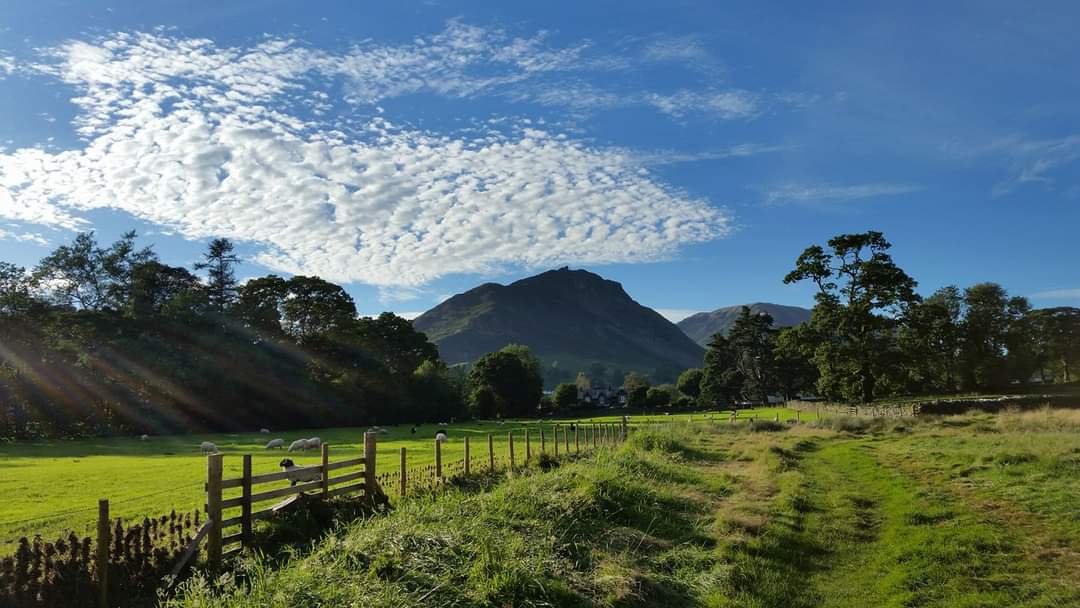
The Helm Crag Loop from Grasmere in the Lake District National Park is a popular and scenic walking route that offers stunning views of the surrounding countryside. This hike takes you to the summit of Helm Crag, where you can enjoy breathtaking panoramas of Grasmere, the lake, and the surrounding fells.
Distance and Ascent

The hike to the summit of Helm Crag is approximately 3.3 km long, with an ascent of around 337m in height. The route starts with a gentle walk through fields and pastures before ascending steeply up to the summit.
Terrain

The terrain along the Helm Crag Loop is varied and can be challenging in parts. The final ascent to the summit involves some scrambling over rocky terrain, and hikers should be prepared for some narrow paths and exposure. There is a small but relatively easy scramble section just before the summit, which lasts for about 100 meters. This section can be avoided by taking the path down to the left of it.
Precautions
When hiking the Helm Crag Loop, it’s important to be prepared for changes in weather conditions, especially in the higher sections of the hike. Proper footwear with good grip is essential to handle the rugged terrain. Hikers should also be aware of the local wildlife, including red squirrels, foxes, and various bird species. Parking in Grasmere can fill up quickly, so it’s best to arrive early to secure a spot.
Route Description
The hike starts from the centre of Grasmere, where parking is available (fees apply). The route follows a track to the Lancrigg Hotel, through the grounds to the forest. After the forest, the path opens up and gets steeper, following a dry stone wall and stone steps. The trail continues uphill, zigzagging until you reach the summit.
Summit
The summit of Helm Crag offers breathtaking views of Grasmere, the lake, and the surrounding fells. You can also see the iconic “Lion and the Lamb” rock formations, which are a popular feature of the hike.
Additional Tips
The hike to the summit of Helm Crag typically takes around two hours to complete (return). The best time to hike the route is during the summer months when the weather is generally milder and more stable. If you’re looking for a gentler ascent, there are alternative paths that lead to the summit, such as the route from Easedale Tarn.
