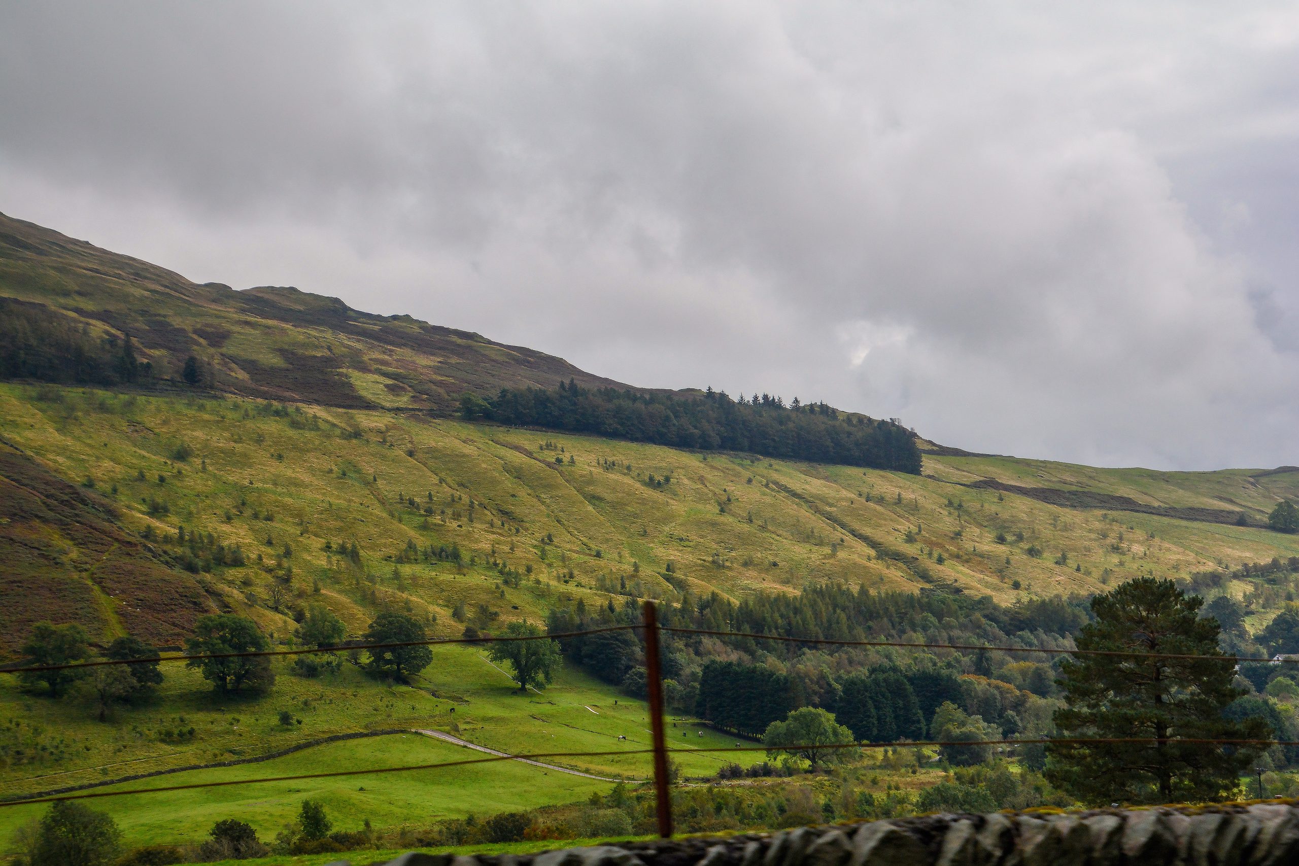
Helvellyn, the third-highest mountain in the Lake District and England, offers a variety of walking routes for hikers of all levels. Here, we will explore the most popular and easiest routes, along with essential details on timings, distances, and difficulty levels.
Most Popular Route: Helvellyn via Striding Edge and Swirral Edge

- Distance: 6.5 km (4 miles)
- Time: 3 hours
- Height Gained: 850 meters
- Difficulty: Advanced, Grade 1 Scramble
This route is considered the must-do route for anyone visiting the Lake District. It starts from Glenridding and involves an exhilarating scramble over Striding Edge and Swirral Edge, offering breathtaking views. However, it is recommended to avoid this route in adverse weather conditions.
Easiest Route: Helvellyn from Thirlmere

- Distance: 5 miles
- Time: 4 hours
- Difficulty: Medium
This route is a less technical ascent to Helvellyn’s summit, starting from Swirls car park near Thirlmere reservoir. It winds past waterfalls and offers stunning scenery, making it a more manageable hike for those less experienced.
Helvellyn Circular Route
- Distance: 9.5 miles
- Time: 6.5 hours
- Difficulty: Medium
This route takes the same path to the summit from Thirlmere and includes an additional ascent of Nethermost Pike and High Crag on the return journey. It offers a more relaxed outdoor walk with picturesque views.
Other Routes and Essentials
- Helvellyn via Red Tarn and Swirral Edge: This route avoids Striding Edge and offers a slightly easier ascent.
- Parking and Public Transport: Parking is available in Glenridding and Thirlmere, with public transport options available from Penrith and Windermere.
- Maps and Guidebooks: Recommended maps include the Ordnance Survey Explorer OL5 and the Lake District BMC (British Mountain Map).
- Weather Forecast: Check the Met Office Lake District Mountain Weather forecast before embarking on your hike.
Safety Considerations
- Striding Edge: This route is exposed to strong crosswinds and can be dangerous in winter. There have been recorded deaths on this route, so caution and care are advised.
- Weather Conditions: Avoid attempting these routes in adverse weather conditions, as paths and rocky sections can get very slippery when wet.
References
-
Mud and Routes. (2023, February 18). All the Walking Routes up Helvellyn. Retrieved from https://www.mudandroutes.com/routes/walking-routes-helvellyn/
-
Guided Outdoors. (n.d.). Three Routes Up Helvellyn. Retrieved from https://guidedoutdoors.co.uk/walks/helvellyn-walks/three-routes-up-helvellyn/
-
The Wilder Route. (n.d.). Walking Helvellyn ∼ The Striding Edge Route. Retrieved from https://www.thewilderroute.com/walking-helvellyn-striding-edge-lake-district/
-
C2C Packhorse. (2022, April 18). Helvellyn Mountain Lake District | Easiest Routes, Directions, Parking. Retrieved from https://c2cpackhorse.co.uk/helvellyn-walks/
-
Lake District Secrets. (2023, September 23). Helvellyn Walking Routes. Retrieved from https://lakedistrictsecrets.co.uk/helvellyn-walking-routes/.
