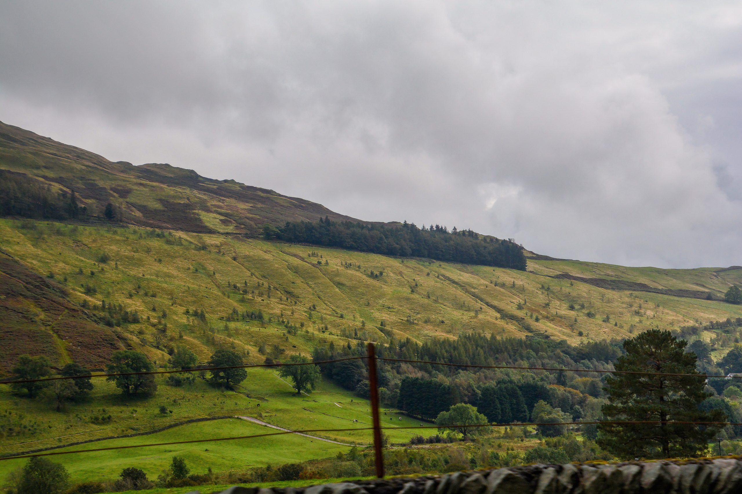
The Lake District National Park, a breathtaking natural wonder in the heart of Cumbria, England, has undergone significant boundary changes over the years. From its initial designation in 1951 to the most recent extension in 2016, the park’s boundaries have been refined and expanded to better protect and preserve this stunning region. In this comprehensive blog post, we’ll delve into the details of these boundary changes, providing you with a deeper understanding of the evolving landscape of the Lake District National Park.
Designation and Initial Boundary (1951)

The Lake District National Park was officially designated in 1951, marking a significant milestone in the preservation of this natural gem. The initial boundary was defined by a written description and two 1-inch to 1-mile paper maps, which served as the foundation for the park’s geographical limits.
Digital Interpretation and Clarification (2011)

In 2011, the boundary of the Lake District National Park was digitized and transferred to computers, allowing for more precise mapping and analysis. However, this process revealed some inconsistencies in the interpretation of the boundary, leading to potential misunderstandings. To address this issue, the Lake District National Park Authority worked closely with the ombudsman to update the digital boundary, ensuring a consistent and accurate representation of the park’s limits.
Boundary Extension (2016)
On August 1, 2016, the Lake District National Park underwent a significant expansion, adding approximately 70 square kilometers of land in Cumbria. This extension included areas such as Birkbeck Fells Common to Whinfell Common and Helsington Barrows to Sizergh Fell, further enhancing the park’s protected areas and offering visitors even more opportunities to explore the stunning landscapes.
Maps and Documentation
To ensure transparency and accessibility, the Lake District National Park Authority provides a wealth of information and resources related to the park’s boundary. This includes detailed maps, both low-resolution versions and high-quality maps that showcase the extended areas. Additionally, the authority offers a written description of the park’s boundary, allowing visitors and enthusiasts to better understand the geographical limits of this remarkable natural wonder.
Current Status and Future Plans
The current boundary of the Lake District National Park is defined by the 2016 extension and the updated digital interpretation. However, the journey of boundary changes is ongoing, as Natural England continues to consider new designations and potential expansions of the park. Friends of the Lake District, a local organization, remains actively involved in advocating for further extensions to protect and preserve this unique and cherished landscape.
Key Resources
For those interested in exploring the Lake District National Park’s boundary changes in more detail, here are some key resources:
- The Lake District National Park Authority’s website, which provides comprehensive information on the park’s boundary and maps: https://www.lakedistrict.gov.uk/caringfor/policies/boundarymap
- The UK Government’s publications on the Lake District National Park boundary changes: https://www.gov.uk/government/publications/lake-district-national-park-maps-of-confirmed-boundary-changes
- The Friends of the Lake District’s updates on ongoing efforts to extend the park’s boundaries: https://www.friendsofthelakedistrict.org.uk/news/extension-for-lake-district-national-park-still-hoped-for
As a touring enthusiast, understanding the evolving boundaries of the Lake District National Park is crucial for planning your adventures and ensuring you fully experience the park’s natural wonders. With the information provided in this blog post, you can now navigate the park with a deeper appreciation for its rich history and the ongoing efforts to protect and expand this remarkable landscape.
References
- https://www.data.gov.uk/dataset/d6fea822-cb38-4503-951c-b46f5823e428/ldnpa-lake-district-national-park-boundary
- https://www.gov.uk/government/publications/lake-district-national-park-maps-of-confirmed-boundary-changes
- https://www.friendsofthelakedistrict.org.uk/news/extension-for-lake-district-national-park-still-hoped-for
- https://www.lakedistrict.gov.uk/caringfor/policies/boundarymap
- https://www.gov.uk/government/publications/lake-district-and-yorkshire-dales-national-parks-boundary-changes-confirmed
