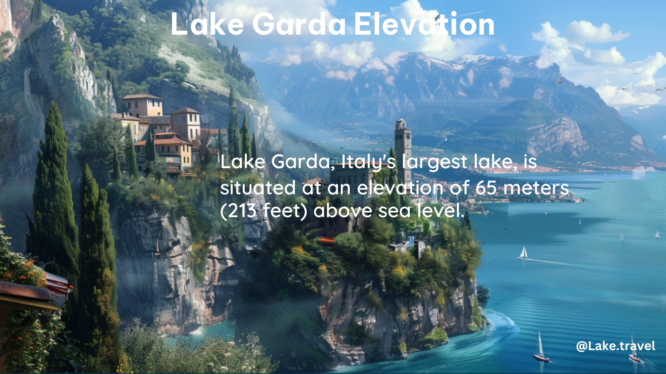
Lake Garda, situated in northern Italy, is the country’s largest lake, with an elevation of 65 meters (213 feet) above sea level. This relatively low elevation, compared to the surrounding Alps, is a defining feature of the lake’s unique geography and hydrography.
The Garda Hydrographic Basin: A Diverse Landscape
The Garda hydrographic basin can be divided into four distinct areas, each with its own characteristics:
- The plain, covering approximately 200 square kilometers (77 square miles)
- The lake surface, spanning around 370 square kilometers (140 square miles)
- The western portion, measuring approximately 500 square kilometers (193 square miles)
- The eastern portion, covering approximately 1,040 square kilometers (400 square miles)
This diverse landscape, with its varying elevations and terrain, contributes to the lake’s rich biodiversity and the variety of recreational activities available to visitors.
Factors Influencing Lake Garda’s Elevation

The low elevation of Lake Garda is the result of several factors, including:
- Glacial Erosion: During the last ice age, glaciers carved out the lake’s basin, creating a depression that is now filled with water.
- Tectonic Activity: The lake’s location within the Alpine mountain range has been shaped by tectonic forces, which have contributed to the formation of the basin.
- Hydrological Processes: The lake’s water level is influenced by a combination of precipitation, evaporation, and inflow from rivers and streams, all of which play a role in maintaining the lake’s elevation.
Exploring the Shoreline and Surrounding Terrain
The shoreline of Lake Garda is characterized by a variety of landscapes, ranging from steep, rocky cliffs to gentle, sandy beaches. The elevation of the surrounding terrain varies significantly, with the Alps rising to the north and the Pianura Padana (Po Valley) extending to the south.
Northern Shoreline
The northern shoreline of Lake Garda is dominated by the steep, rugged slopes of the Alps, which rise dramatically from the water’s edge. This area is characterized by a more mountainous terrain, with numerous hiking trails and scenic viewpoints.
Southern Shoreline
The southern shoreline of Lake Garda is more gently sloping, with a mix of sandy beaches, rocky outcrops, and small towns and villages. This area is generally lower in elevation, transitioning into the Pianura Padana, and offers a more relaxed, Mediterranean-style atmosphere.
Recreational Activities and Attractions
The unique elevation and geography of Lake Garda make it a popular destination for a wide range of outdoor activities and attractions. Some of the most popular include:
- Water Sports: The lake’s calm waters and mild climate make it an ideal location for activities such as swimming, sailing, windsurfing, and water skiing.
- Hiking and Trekking: The surrounding mountains and hills offer numerous hiking trails, ranging from easy strolls to challenging treks, with stunning views of the lake and the surrounding landscape.
- Cycling: The lake’s flat, paved paths and scenic routes make it a popular destination for cyclists, with both road and mountain biking options available.
- Historic Sites: The region around Lake Garda is rich in history, with numerous castles, fortresses, and ancient ruins dotting the landscape.
- Culinary Experiences: The lake’s mild climate and fertile soil support a thriving agricultural industry, offering visitors the opportunity to sample local wines, olive oils, and other regional specialties.
Conclusion
Lake Garda’s unique elevation, at just 65 meters (213 feet) above sea level, is a defining feature of its geography and hydrography. This relatively low elevation, combined with the diverse landscape of the surrounding region, makes Lake Garda a truly remarkable destination for outdoor enthusiasts, nature lovers, and those seeking a taste of Italy’s rich cultural heritage.
