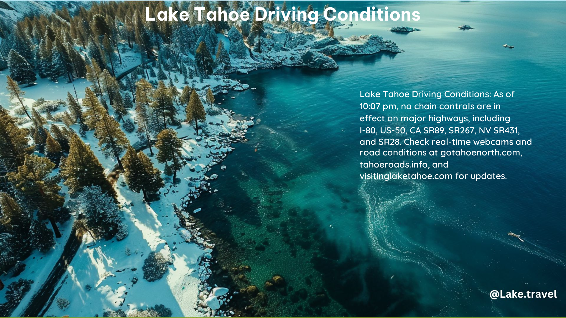
Lake Tahoe, a popular tourist destination, is known for its picturesque landscapes and outdoor recreational activities. However, the region’s mountainous terrain and unpredictable weather conditions can make driving challenging, especially during winter. To ensure a safe and enjoyable trip, it is crucial to stay informed about the current road conditions and chain control requirements.
Current Chain Control Requirements for Lake Tahoe Highways
The chain control requirements for the major highways around Lake Tahoe are as follows:
| Highway | Chain Control Requirement |
|---|---|
| Highway 50 | No restrictions reported |
| Interstate 80 | No restrictions reported in the San Francisco Bay Area and Solano County |
Checking Real-Time Road Conditions and Webcams for Lake Tahoe Roads

To stay up-to-date on the latest road conditions and chain control requirements, you can utilize the following resources:
California
- Caltrans Quickmap Website & App: Provides highway webcams, closure, chain control, and incident information.
- Caltrans Highway Status: Check the status of California highway closures.
- CHP – Truckee Facebook Page: Local information and updates from the California Highway Patrol.
- 1-800-427-7623: Call for current highway conditions.
Nevada
- NV Roads 511 Website & App: Provides highway webcams, closure, chain control, and incident information.
- 1-877-NV-ROADS: Call for current highway conditions.
Additional Resources for Safe Winter Driving
To ensure a safe and enjoyable trip to Lake Tahoe, consider the following winter driving tips and resources:
- Winter Driving Tips:
- Carry chains and know how to use them.
- Have extra water, food, necessary medication, and warm clothing in the car.
- Do not leave without a full tank of gas.
- Palisades Tahoe App: Real-time information on weather, lift status, and parking.
- Mountain Ops Twitter: Up-to-the-minute updates on mountain conditions.
- Palisades Tahoe Snow & Weather Report: Daily updates on snow and weather conditions.
Traveling to Lake Tahoe
If you’re flying to Lake Tahoe, the closest major airports are:
- Reno/Tahoe International Airport (RNO): 37 miles, 58 km, 54 minutes from Lake Tahoe.
- Sacramento International Airport (SMF): 121 miles, 195 km, 2 hours from Lake Tahoe.
- San Francisco International Airport (SFO): 211 miles, 340 km, 3.5 hours from Lake Tahoe.
Road Conditions and Webcams
For up-to-the-minute information on road conditions and live stream views of the roads leading into Lake Tahoe, check the following resources:
- Go Tahoe North: Provides live stream views of roads leading into North Tahoe and current conditions.
- Lake Tahoe Visitor Bureaus: Offers information on road conditions and travel tips.
By staying informed about road conditions and chain control requirements, you can ensure a safe and enjoyable trip to Lake Tahoe. Always check the latest updates before embarking on your journey.
References:
– https://www.palisadestahoe.com/mountain-information/parking-and-road-conditions/road-conditions
– https://tahoeroads.info
– https://visitinglaketahoe.com/road-conditions/
– https://roads.dot.ca.gov/roadscell.php?roadnumber=50
– https://www.gotahoenorth.com/road-conditions/
